Cemis 1200 simplifies the management of reference tracks and tramlines

Claas has added new functions and features to its Cemis 1200 Universal Terminal. The ability to define multiple reference tracks and field segments using field boundaries marks a significant gain in convenience, especially during cultivating and drilling. Furthermore, tramlines can now be flagged with colour and acoustic signals and master data can be created and processed directly on the terminal.
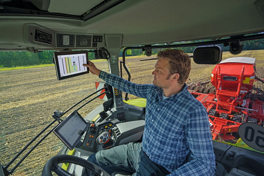
First introduced on the Trion in 2021 and available for Claas tractors and the Jaguar since 2022, the Cemis 1200 Universal Terminal with the new GPS PILOT is now the standard device for all self-propelled Claas machines not just for automatic steering, but also for fleet management and smart farming applications. The successor to the S10 terminal features a 12-inch colour touchscreen and is equipped with a wide choice of correction signals and Isobus functions. As well as online documentation, it can handle Isobus implement control (in addition to the Cebis terminal), a wide range of Task Controller applications, automatic Section Control and Variable Rate Application on tractors. The new functions and features will be available on the terminal developed by Claas E-Systems in Dissen from calendar year 2024.
Text continues below picture

A-B lines and contours on demand
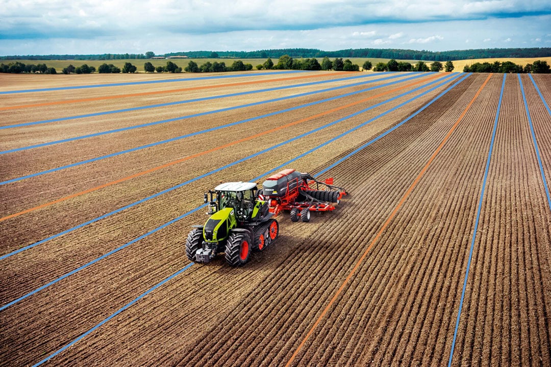
One of the new functions of the gps Pilot Cemis 1200 is the automatic creation of multiple different reference lines within one field. Using recorded or imported field boundaries, A-B lines and contours for different areas and sections of the field can be calculated and saved before cultivating the field. This feature simplifies work in irregularly shaped fields, as several headland sequences and rounded field boundaries can be saved as reference lines in addition to the main working direction. When the driver switches to a different section of the field, they simply activate the reference line for the relevant segment and then resume work straight away with maximum precision.
No more missed tramlines: colour display and acoustic signal
The tramline management feature in Cemis 1200 also reduces the workload significantly. The driver can specify in advance where the first tramline is to be created and the interval between tramlines (in x times working width). The tramlines are then highlighted in colour on the Cemis 1200 screen as work is underway. In addition, an acoustic signal can also be activated to remind the driver where exactly in the field to create a tramline. This means tramlines can no longer be missed – for example when drilling cereal, maize or beets, planting potatoes or creating interval tramlines on slopes – allowing the driver to focus fully on monitoring and operating the machine. It is also possible to configure the signal to sound only when driving onto a tramline, or when leaving it as well.
Text continues below picture

Other new features – also available as a software update
Further improvements will be introduced in the new Cemis 1200 model year. All new and improved features, including the new tramline manager and the automatic creation of multiple reference lines per field based on field boundaries, can be retrofitted to Cemis 1200 terminals already in use by means of a software update.
The following additional new features will be included in Cemis 1200 from model year 2023:
- In addition to the three familiar functions ‘Isobus with TC-SC (Task Controller Section Control), ‘Automatic Steering Mode’ and ‘Manual activation’, a fourth ‘Working Position in Cebis’ is available for activating the coverage map in the display. This indicates on the map when a Cebis function – such as linkage, hydraulics spool valve or PTO – is active and the three other functions are not in use.
- A specially configured gps Pilot is now available for the Xerion for offset steering (crab steering, gentle mode).
- Numerous improvements have been made to the user interface. These mainly enable direct access to more parameters from the map view, as well as more options to customise different views. Readability has also been improved in many areas.
- The map view now features more zoom levels, including a zoom level that provides a field overview. Track, tramline and reference line graphics end at field boundaries
- The brightness sensor toggles automatically between day and night mode. The display can also be switched off completely when it is not required (e.g. when travelling between fields).
- Master data such as farm, activity or operator can now be created and edited directly on the terminal, including adding comments. Imported master data can also be edited directly on the terminal.
- Via NMEA Out, GNSS position data can be transferred in real-time from the tractor to other suitable work computers (to NMEA 0183 standard) or to the Isobus (NMEA 2000 standard) –for example for Section Control applications with a fertiliser spreader, crop sprayer or drill with its own implement terminal.


